
Walk a Springville Street by Address
A Springville street directory search works best as a short chain. Begin with the exact address and normalize its direction and street type. The Utah County Assessor route can return the parcel serial, owner, situs, mailing address, and legal description. The county Parcel Map can then show the lot and adjacent parcels. After that, the Recorder’s address, name, abstract, and document modes can connect the parcel to deeds and other filings.
Ownership is the clearest address result. A voter record or directory entry can suggest a household, while a permit or newspaper can explain a past use. Keep each source’s date and meaning in your notes.
- Enter the number, direction, street, type, and city in the Utah County property or address route.
- Save the serial, legal description, situs, mailing address, and owner shown on the parcel result.
- Open the county Parcel Map and identify adjoining lots, layers, and property links.
- Use the Recorder index for the latest deed, prior parties, plat, abstract, or document image.
- Use the voter request route or historical street-order directories only for the narrower question they can answer.
Springville Address Record Coverage
Several Utah County and Springville sources can be searched from an address, but they do not expose the same people. The property card is about ownership and tax evidence. The Recorder index is about recorded documents. GIS supplies geometry and boundaries. A voter file is a regulated election record. The city’s permit pages identify request routes, yet no public address-keyed permit search was located.
| Record Set | Keeper | What It Shows | Access |
|---|---|---|---|
| Assessor card | Utah County Assessor | Owner, situs, mailing address, values, serial | Free county search |
| County Parcel Map | Utah County GIS | Lot geometry, adjacent parcels, layers | Free public map |
| Deeds and liens | Utah County Recorder | Sale history, parties, legal description | Free index; copies vary |
| Voter file | Utah County Elections | Registered voters, precincts, districts | Paid request, purpose limits |
| Building permits | Springville Community Development | Applications, plans, inspection evidence | My City Inspector or GRAMA |
The serial is the bridge between a parcel card and the land-record forms. A legal description and plat are safer than a modern street number when the block has changed. The street name still helps with voter and directory work, but the county’s voter request form uses residence city, precinct, and district selectors rather than ZIP.
Normalize a Springville Address
Before a street directory query, write the address in the form the custodian expects. Keep the number, direction, street name, street type, unit, city, and ZIP in separate notes. The Utah County address form exposes Number, Direction, Street, Street Type, City or Location, and record mode. Its direction, type, and location option lists are live controls, so use the current form rather than copying a remembered list.
Springville’s address origin is its own Main and Center system. Mapleton, Spanish Fork, and unincorporated Utah County use different local origins. A historic entry that looks wrong may be using a different grid, an old city label, or a lot and block description. Compare the postal result with the parcel city and municipal boundary before changing the search.
| Number | Street number, entered separately |
|---|---|
| Direction | Local directional control, such as north or south |
| Street and type | Name and suffix are separate fields |
| City or location | County location selector, not the ZIP alone |
Utah County Address Search Fields
The Utah County Recorder address search is a useful first pass when a Springville number is known. It offers All Records and Current Records Only modes. A broad search can return more than one parcel or document, so a city choice and later serial check are worth the extra time.
Use the result to reach the underlying record, then save its entry or serial. The county Recorder’s public image access and office copy route are different. An image is a way to inspect a document; a certified copy is a formal product with its own fee.
The inspected address form shows the number, direction, street, type, city, and record-mode controls used in a Springville street directory search.
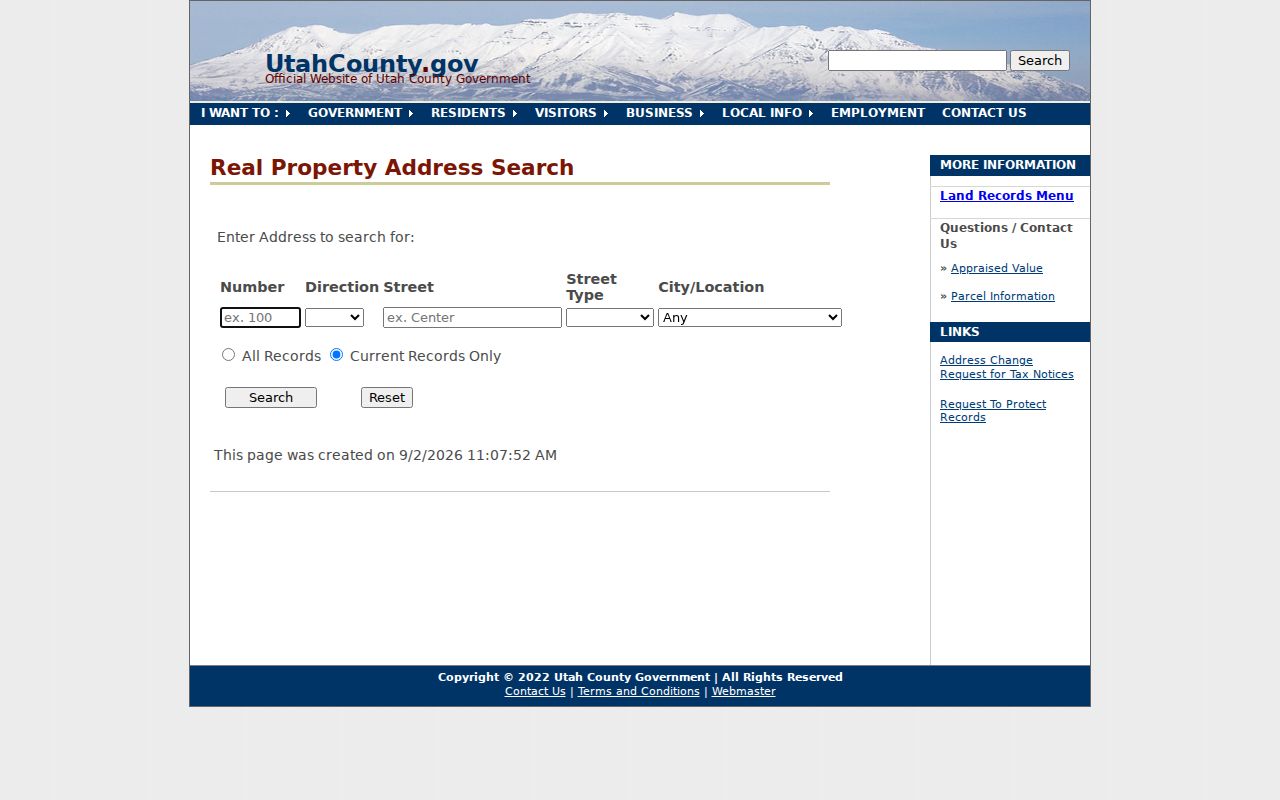
That field order is a practical guard against a false no-result caused by a suffix, direction, or city mismatch.
From Parcel to Owner
The Assessor real-property route is the bridge from a street number to a county parcel. It supports owner-name, situs-address, and serial searches through Land Records. Preserve the parcel serial, owner name, situs, mailing address, acreage, subdivision or lot description, values, and historical owner rows as separate facts.
“Situs” means the physical property location. A mailing address is where tax correspondence goes. It may belong to another city, state, agent, or business. The difference matters when a Springville street directory search seems to point outside Springville. Mailing data helps with a property trail, but it does not establish present occupancy.
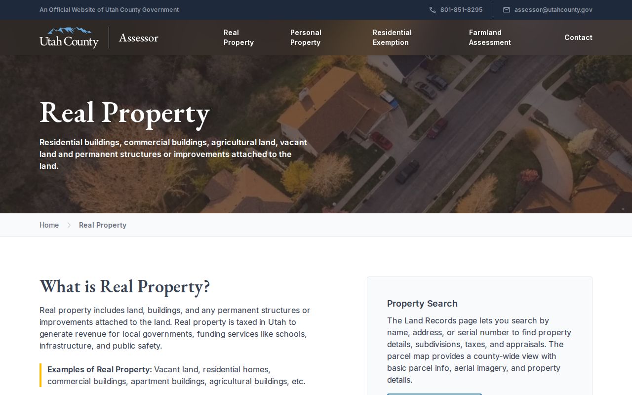
The county assessor landing page routes a street search to owner, address, and serial-based property information.
Exemption flags may offer context about tax treatment, but they are not a categorical current-residence finding.
Read Springville Parcel Layers
The Utah County Parcel Map can search by address, serial, owner, PLSS section, township, range, or city. Turn on parcel boundaries and identify the lot tied to the address. The viewer also supports layers, aerial basemaps, historic parcel mode, coordinate tools, measurement, and map export.
Historic parcel mode follows the date a parcel entered the online property system, not necessarily the deed’s recording date. Treat it as a map-system timestamp. Springville’s cadastral service adds city limits, annexations, parcels, and other local layers, which helps when a county parcel approaches a municipal edge.
Note: A shared boundary shows adjacent land, not a shared household, family tie, or relationship between the owners.
Follow Deeds Along the Street
Once a parcel serial and legal description are in hand, the Recorder’s index can carry the Springville street directory search backward or across neighboring lots. Search the current owner as grantee, identify the seller, then search that seller as grantee in an earlier period. Record grantor, grantee, execution date, recording date, entry number, book and page, document type, legal description, and linked prior instruments.
The online corpus runs 1870 to the present. The handwritten name index reaches January 1978, while abstract formats overlap the computerized period through May 1980 and September 1985. Older material may be in books, microfilm, or office holdings. The county says it does not perform title research by phone, so a legal title question belongs with a qualified title professional.
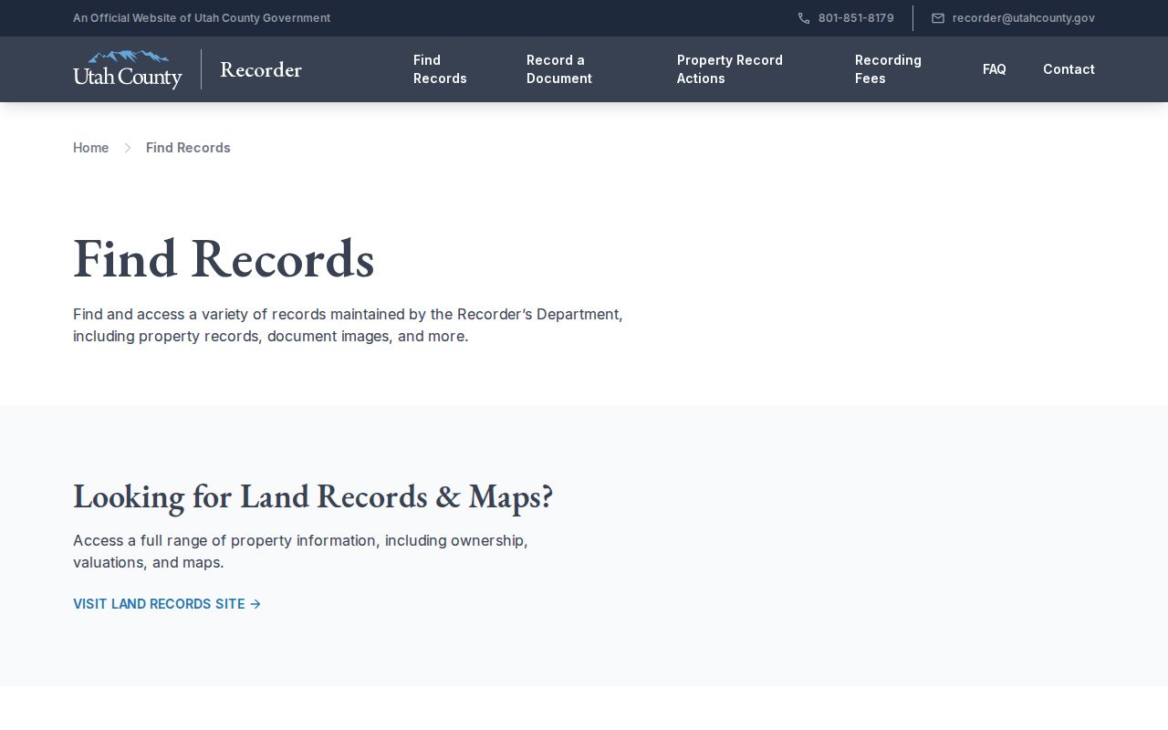
The Recorder’s Find Records page explains the document index, images, and copy routes behind an address search.
This chain is about recorded parties and land evidence. It should not be labeled a list of current residents.
Street Permits and Voter Requests
Springville Community Development lists building, business, fence, filming, special-event, yard-sale, fire, alarm, right-of-way, and land-disturbance permits. Applicants use My City Inspector for building permits, plans, and inspections. No public applicant, address, or code-case lookup was located. For a particular file, ask what can be released or make a specific GRAMA request through the city.
Utah County’s voter-list request form can select residence city, voting precinct, political districts, party, and optional vote history from 2016 forward. Springville is a selectable residence city. The county sends a paid Excel file and requires purpose and use certifications. The form does not filter by ZIP, and the delivered file does not include email or phone. Use the county elections office when a street question truly calls for an authorized voter-file request.
Limits of a Springville Street Directory
A street directory cannot promise a list of everyone at an address. The public property trail centers on owners, not every household member. Registration data is tied to an election record and can be stale or protected. Utility customer lists and motor-vehicle address data are not public resident sources. A business, agent, or relative may receive mail for a parcel without living there.
Lawful use. Springville address records can support personal, family-history, property, or civic research. Do not use them to stalk, harass, threaten, or expose a protected person.